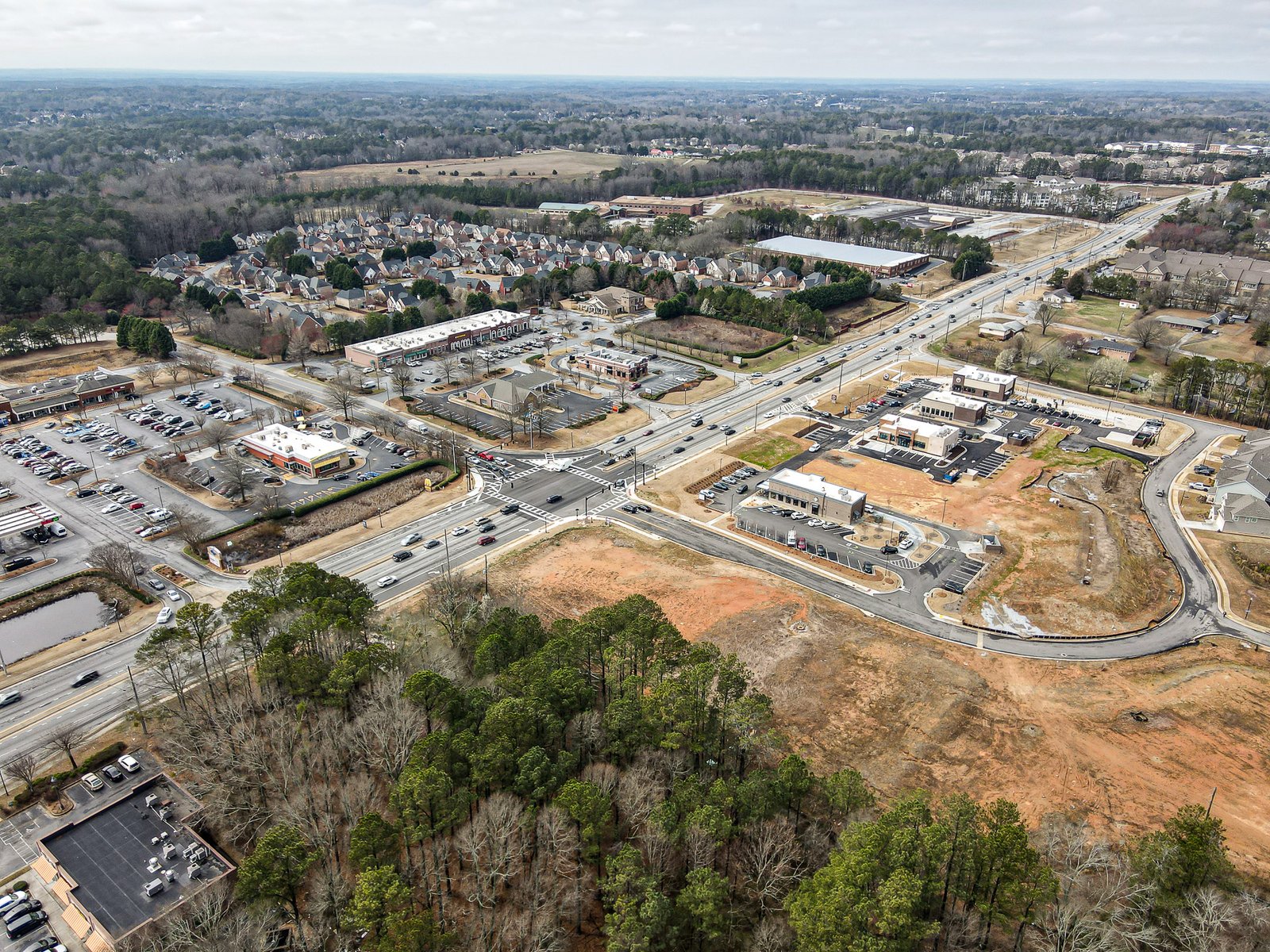
Drone photography has revolutionized real estate marketing. Aerial perspectives show properties in context—landscape, lot size, neighborhood, and proximity to amenities. For Atlanta and Gwinnett properties, drone footage is increasingly essential.
Why Drone Photography Matters
Homes with aerial photography receive 40% more views than similar listings without. Buyers want to understand property size, orientation, and surroundings before scheduling viewings.
Key Benefits:
- Shows property size and lot layout
- Displays neighborhood context and amenities
- Highlights architectural features visible only from above
- Creates emotional connection to the space
- Stands out in listings—major competitive advantage
Types of Drone Shots
Overhead Property View
Direct top-down shot showing the entire property boundary. Perfect for understanding lot shape and size relative to surroundings.
Aerial Walkthrough
Dynamic footage showing property transitions from exterior to roof, ideally ending with neighborhood views.
Sunset/Golden Hour Shots
Warm lighting makes properties appear more inviting. Professional drone pilots time shots for optimal lighting.
Drone Investment ROI
Professional drone photography costs $150-$400 per property. However, properties with drone photos:
- Sell 21 days faster on average
- Command 5-15% price premiums
- Attract more qualified buyers
Showcase Your Property from Above
Professional drone photography combined with excellent ground photography creates powerful listings that attract serious buyers and get you top dollar.
Schedule Drone PhotographyFinding Quality Drone Services
Work with FAA Part 107 certified pilots who understand real estate. Professional operators have proper insurance, equipment, and editing skills crucial for quality results.